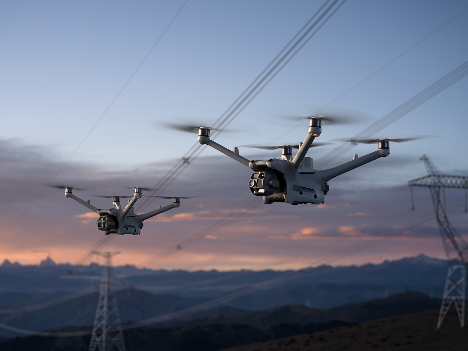
3D network digital city
3D network digital city is a new hi-tech product based on Internet and mobile phone platform to show 3D network digital city,Users only have to visit websites with browsers in PCs or mobile phones to wander in every city and get real feelings.
3D network digital city adopts open concepts ,so that the clients can browse and observe 3D emulational cities easily,check positions ,make viewports ,add labels ,inquire entity information,upload shared information etc.
Longmap GIS Platform software (V3.10 version)
Longmap GIS platform software (V3.10version) is a geographical information application platform,which is developed by our company independently through pure Java language.The platform is plain and reasonable constructed ,the issued network maps are easily accessible. It has a high search speed , variety of dynamic show functions and can calculate ,analyse and display all kinds of geographical information in system.
System’s main functions introduction
1.Click in any scale ,magnification,minification,wander and stepless magnification,minification of scroll bars. 2. superimposed display and control of vector map layers 3. Rapid positioning of districts and counties according to city administrative districts. 4. Classify inquiry and fuzzy query of unit target. 5. Page visit of target multimedia information ,such as :Unit,tourist attractions etc. 6. Distance calculation of any routes in maps. 7. Calculation of the shortest route. 8. Bus guides. 9. User-defined map layers.
Longmap GIS Platform software(V3.20version)
Achieve all the functions of V3.10version under the background of 3D emulated map data.
Longmap GIS Platform software(V3.30version)
Achieve all the functions of V3.20version under the background of 3D emulated map data.
Main technological index:
Longmap technology adopts staple Java language and realizes the vector map processing methods .At the same time,it assures the small clients and small applications端小、应用瘦小,客户端同
Clients also supports the Java virtual operational environment of Microsoft windows and Sun In order to make full use of vector maps,Longmap adopts Java .Longmap clients are programs that can run independently.It can display operating maps independently.,make full use of the resources of clients computers to complete the basic GIS functions and lighten the burden of servers. Longmap system makes full use of client programs ,the displayed maps are beautiful and elegant,the effect is rich and varied.It supports many kinds of dynamic display and has a quick and timely response. The every response time is less than 0.5s.It has a good service value and ornamental value.At the same time,Longmap is a system which doesn’t need to be installed.It can be downloaded to clients automatically.Upgrated and maintained easily.By upgrating it only has to be updated in servers
SMS:
With the widespread of mobile terminals, the corresponding value added service becomes more and more popular among clients.Mobile positioning means,positioning the actual location information of users by mobile terminal and network.It also completes a series of related inquiry by related SMS and voice signal.
Such as:search the positions of roads ,stations,hotels ,banks,malls,entertainments,schools,hospitals,posts,communities,gas stations and all kinds of administrations etc.It realizes the best self-driving routines and bus transferring plans,according to the circumstance of the needed targets.It assures users the correct directions timely and raise the working efficiency.
Our Website welcomes all the mobile users and hand-held terminal facilitators to work with us.Together we’ll open up the related service in this field and bring more practical ,convenient and fast elements to this colorful E-world.

